Groningen  by Nicolaes Visscher
Scroll to zoom, click for slideshow

Groningen 1684

Nicolaes Visscher

Actualmente no disponible a través de Gallerease

  • Sobre la obra de arte

    THE CITY AND LANE OF GRONINGEN "Groningae et Omlandiae Dominium vulgo de Provincie van Stadt en Lande", copper engraving made by A. Hogeboom, published by Nicolaes Visscher as part of his "Germania Inferior...". in 1684. Coloured by hand in time. Dim. 46 x 56 cm. Nicolaes Visscher II produced this map of the City and Country of Groningen together with the Wehe-born nobleman Ludolf Tjarda van Starkenborgh. Compared to earlier maps of the area, here and there small changes have been made. For instance, the settlements around Sappemeer have been depicted in more detail and the city of Groningen, surrounded by its seventeen dwellings, has been depicted more beautifully and topographically precise than before. The zijlen in the Old Provincial Dike have not been forgotten either, and furthermore, the map contains several abandoned houses and tollbooths. A number of lakes depicted by earlier mapmakers are named here, such as the Lijskemeer north of Bourtange and the lakes near Opwierde and Meedhuizen. Lakes have also been added and this is undoubtedly due to the progress of the peat extraction. In the south of Vredewold, Van Starkenborgh gives three moorings which in reality were much smaller and lay on a west-east, instead of a south-west-north-east line. They would disappear by draining, just like the Hoetmansmeer indicated near Wildervank. The nearby dykes point to systematic peat extraction along the Leekster Hoofddiep. The lake near De Punt mentioned here for the first time is not the Paterswoldse Meer or the Freische Veen. These would only come into being later in the Onland area north of Paterswolde. South of Woltersum two circles mark Wester- and Oostermeer. The Olderkerkerk Lake, now long gone and forgotten, is still marked. Like many other lakes it would disappear completely from the map in the 19th century due to drainage. Price: Euro 650,-

  • Sobre el artista

    Nicolaes era el único hijo de Claes Jansz. Pescador. También es conocido por los nombres: Nicolaas o Claes Claesz. Después de años de trabajar para su padre en el negocio, lo sucedió después de su muerte en 1652. En 1662 fue admitido en el gremio de libreros de Amsterdam y en 1677 Nicolaes, ahora un editor respetado, recibió una patente de 15 años de los estados de Holanda y West Friesland para la impresión y publicación de mapas. Murió dos años después y fue enterrado en la misma capilla que su padre.

    Las ediciones Atlas de Nicolás I incluyeron:

    "Atlas Contractus Orbis Terrarum" de 1657.
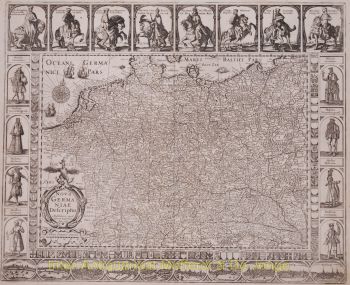
    Germania Inferior de 1663.
    “Atlas Menor” de 1675.
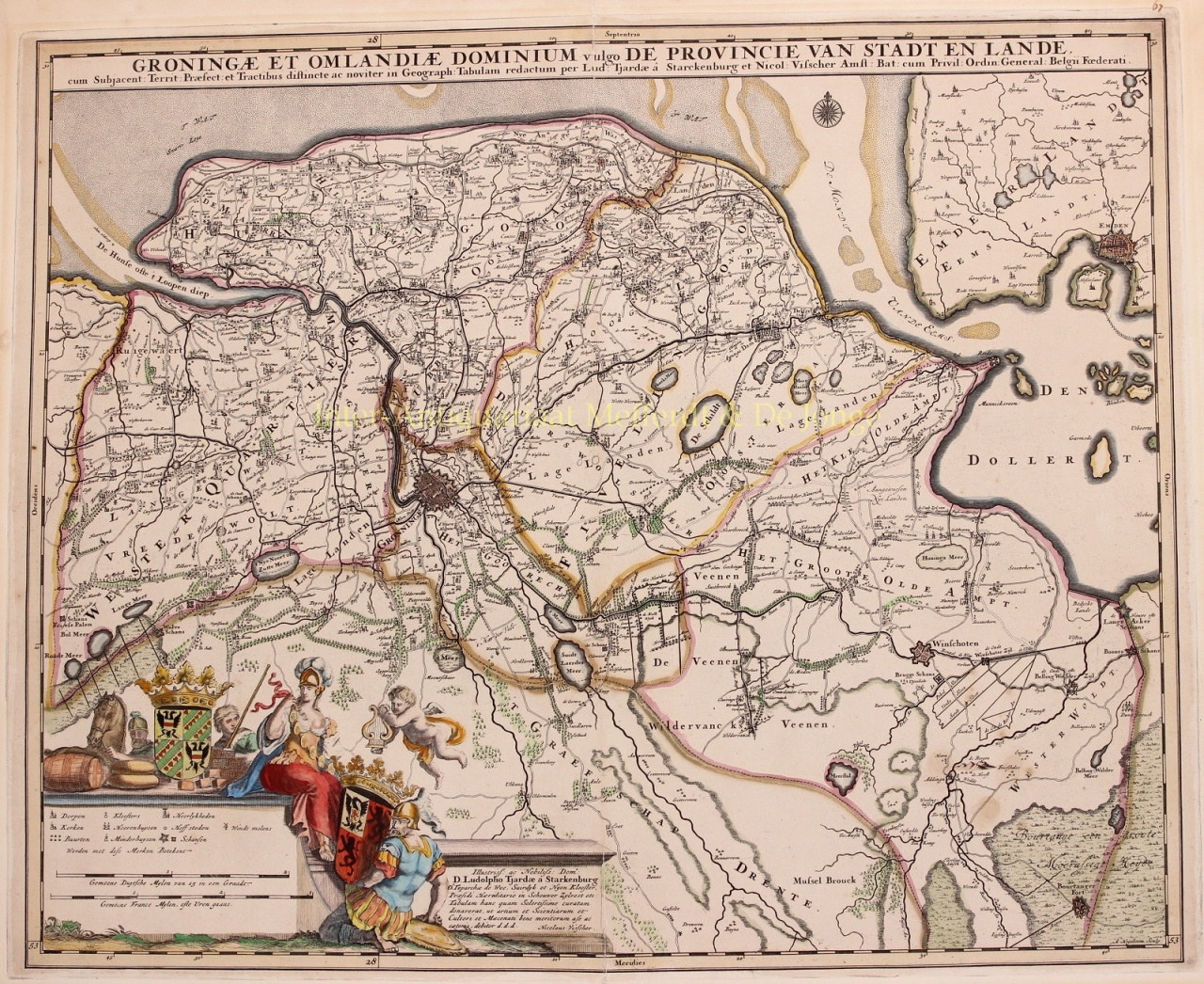
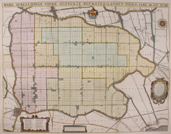
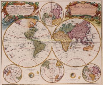
    Los atlas de Visscher a menudo se compilaban de acuerdo con los deseos de los compradores (el llamado Atlas Contractus). Por lo general, no contienen texto, solo a veces un índice impreso. Se utilizaron tarjetas de otros fabricantes, autograbadas y planchas de cobre trabajadas de su padre.

    Uno de los aspectos más destacados de la cartografía del siglo XVII es el mapa mural de varias páginas. Un ejemplo de esto - de 1656 - es el mapa de Zelanda: “Zelandiae Comitatus novissima Tabula”. Este constaba de nueve hojas que juntas tenían un tamaño de 140 x 160 cm. Al agregar paisajes urbanos, el mapa podría ampliarse aún más. Estos paisajes urbanos fueron a su vez publicados hacia 1668 con el nombre: “Speculum Zelandiae”.

Artwork details