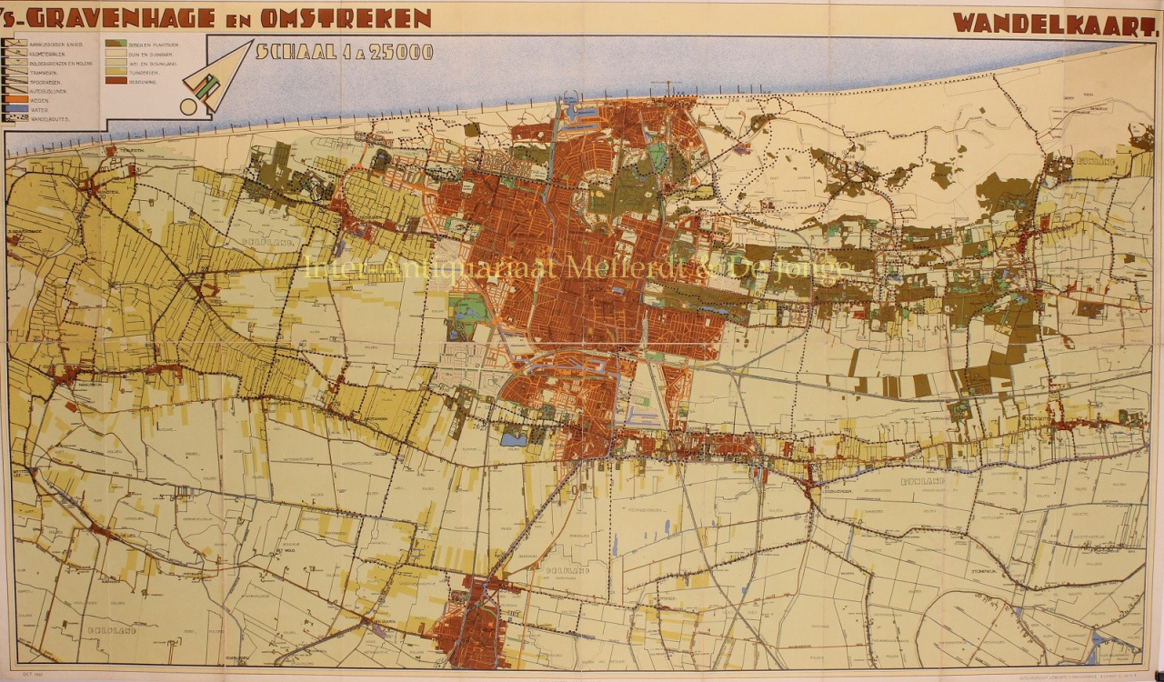
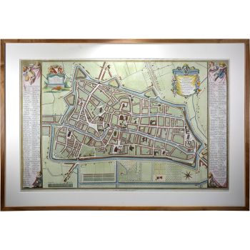
FRAGILE ART DECO MAP OF DEN HAAG AND OMSTREKEN "'s-Gravenhage en Omstreken. Walking map" of the municipal Department of Urban Development and Housing, colour lithograph published in 1932 by Mouton & Co. Size 61 x 103.5 cm. In the 1920s, the design for urban expansion by the 'artist' Berlage was viewed with critical eyes: it was said to be too one-sidedly focused on the beautiful form. The then City Development and Housing Department came up with its own design and in 1928 the Vruchtenbuurt was constructed between the Mient and Laan van Meerdervoort. The new Vruchtenbuurt became a green, predominantly middle-class neighbourhood and, with its private squares and monumentally designed thoroughfares, it regained a Berlagian character. Also, between the Bosjes van Pex and the Meer en Bos estate, a number of streets of the Meer en Bos luxury district were built. Even further seaward, the Vogelwijk was finally built. In the three-quarters of a century before the appearance of this map, the built-up area of The Hague had increased tenfold and had practically merged with the villages of Scheveningen, Loosduinen, Rijswijk and Voorburg. Thanks to the improved transport possibilities, the centre of The Hague with its theatres, banks and luxury shops had also become the entertainment and shopping centre of the Voorburg and Rijswijk inhabitants. Moreover, the suburbs were increasingly populated by native residents of The Hague, who had found relatively cheap and quiet accommodation there. They worked and shopped in the Residentie. Price: Euro 750,-