Scroll to zoom, click for slideshow
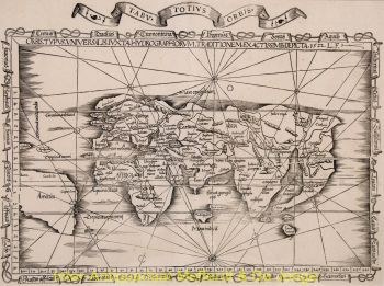
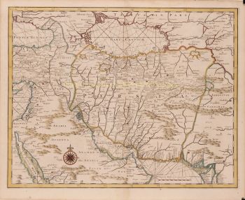
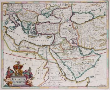
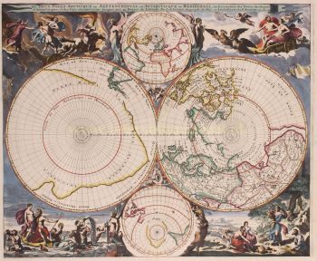
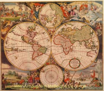
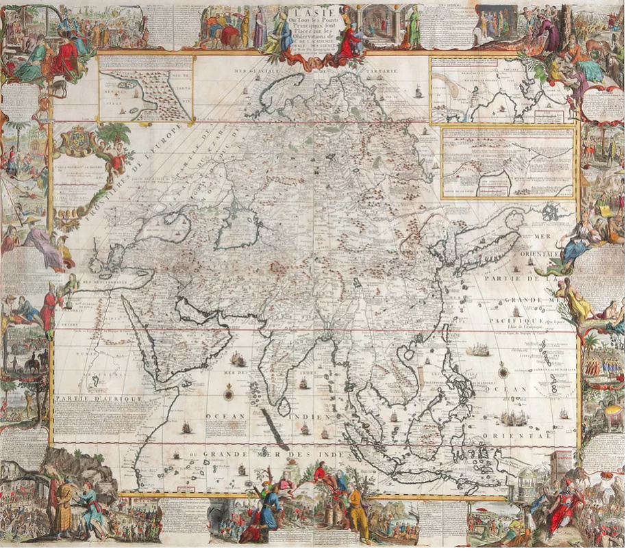
A large wall map of Asia by Nicolas de Fer 1647 - 1720
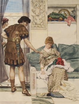
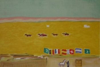
Artista Desconocido
92 ⨯ 117 cm
Precio a consultar
Zebregs & Röell - Fine Art - Antiques
¿Está interesado en comprar esta obra de arte?
Related artworks

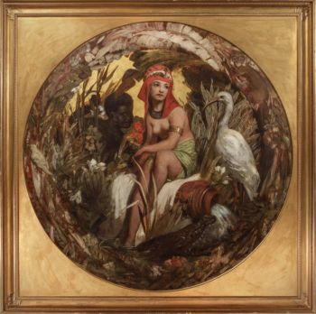
Eduard Charlemont
‘Allegories of Africa and America’1872
Precio a consultarZebregs & Röell - Fine Art - Antiques


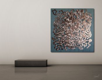
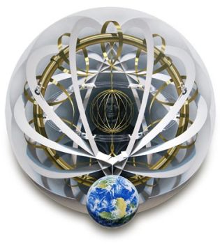
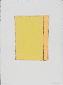
Rene Rietmeyer
"Netherlands, The Hague, March 2002"2002
Precio a consultarEuropean Cultural Centre Collection


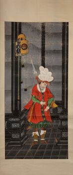
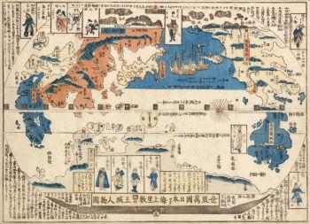
Shiba Kokan
Pintura de un holandés de fantasíaearly 19th
Precio a consultarZebregs & Röell - Fine Art - Antiques

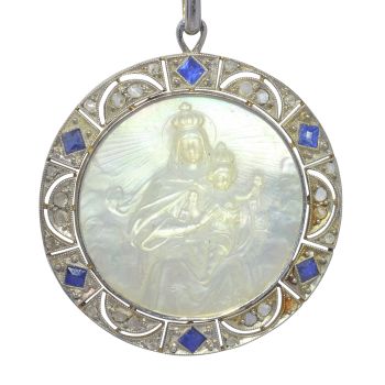
Artista Desconocido
A silver spoon commemorating Juff’ Margareta van Hoorn1656 - 1694
Precio a consultarZebregs & Röell - Fine Art - Antiques

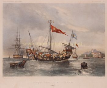
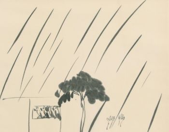
HUGO VILFRED VON PEDERSEN
Gadesanger fra Singapore (Musician from Singapore)1870 - 1959
Precio a consultarZebregs & Röell - Fine Art - Antiques