Large and beautifully executed panorama of Amsterdam by Reinier & Joshua Ottens
Scroll to zoom, click for slideshow

Large and beautifully executed panorama of Amsterdam 1728 - 1732

Reinier & Joshua Ottens

TintaPapel
42 ⨯ 218 cm
ConditionExcellent
Actualmente no disponible a través de Gallerease

  • Sobre la obra de arte
    Amsterdam.
    [Amsterdam], Reinier and Josua Ottens, [ca. 1730]. Large engraved panorama on 4 sheets (ca. 42 x 218 cm as assembled). With title in banner at top centre, arms of the city at top right, city seal at top left and the primary locations with captions. Mounted and framed.

    Rare large engraved view of Amsterdam as seen from the inlet known as the IJ published by Reinier and Josua Ottens ca. 1730, with numerous ships on the IJ. It's the last state of the view by Jacob Savry published in 1647 and partly updated, including the changes made by Visscher in his issue from 1653. Most obvious are the changes on the east part of the city, with several new buildings including ''s Lands Zeemagazijn', now known as the Netherlands Maritime Museum.
    Washed and with one minor professional restoration near the title. Very good copy of a beautifully executed an detailed view of Amsterdam.
    D'Ailly, Profielen 186; De Vries, Atlas van Amsterdam 14; cf. D'Ailly, Profielen 55 & 74.
  • Sobre el artista

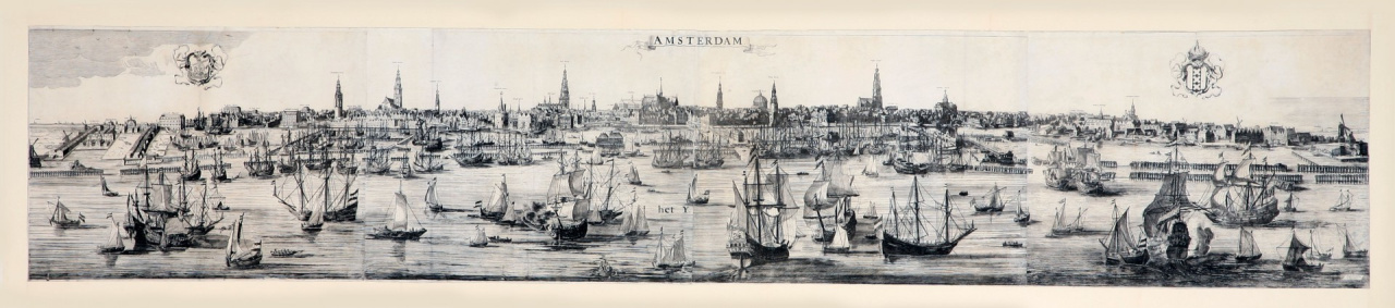
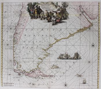
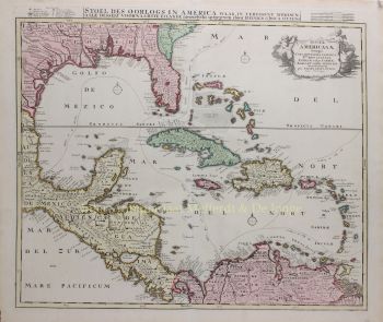
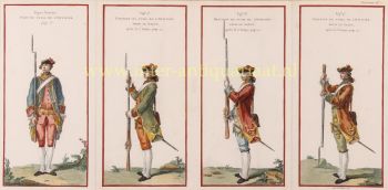
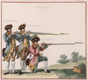
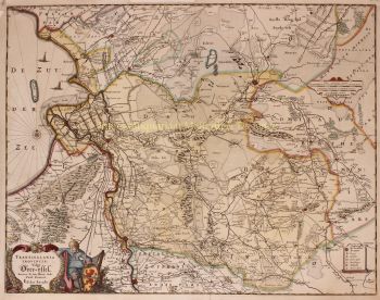
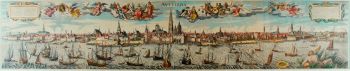
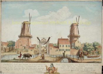
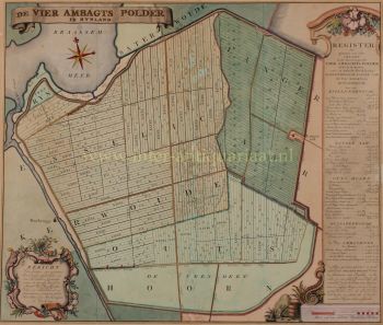
    El período de 1630 a 1700 fue la "edad de oro" de la cartografía holandesa. Los mapas se percibían como obras de arte, el trabajo manual era muy valorado, el grabado estaba al más alto nivel, pero desde el punto de vista de la precisión geográfica, los mapas de los maestros holandeses eran inferiores a los mapas producidos en Alemania, Francia y otros países europeos. .

    Joachim, el fundador de la firma Ottens, nació en Ámsterdam e inicialmente trabajó como grabador de cobre. En 1711 fundó su propia firma dedicada al negocio editorial e impreso, vendiendo libros, mapas, postales e ilustrándolos.

    Aunque Joachim murió unos años después, sus hijos, Renier y Joshua, continuaron con éxito el negocio de su padre. La contribución más significativa a la cartografía de la familia Ottens fueron los enormes atlas de varios volúmenes que hicieron por encargo, como el Atlas Major. Algunas ediciones de Atlas se componen de más de 800 mapas emitidos por separado.