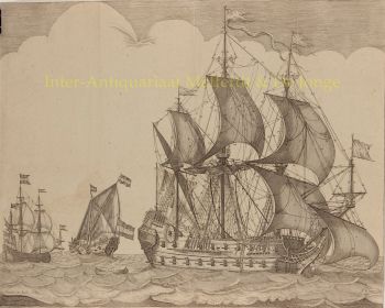
Isaak Tirion (c. 1705-1765) fue uno de los editores más influyentes de Ámsterdam del siglo XVIII; un hombre que, con papel, planchas de cobre y ambición, moldeó la cosmovisión de su época. Nacido en Utrecht y establecido en Ámsterdam alrededor de 1725, construyó un imperio editorial desde su tienda en Nieuwendijk y posteriormente en Kalverstraat que, literalmente, puso el conocimiento en el mapa.
Tirion publicó una impresionante obra de libros, revistas y extensas obras seriadas. Su nombre quedó indisolublemente ligado a proyectos monumentales como Hedendaagse Historie (45 volúmenes) y Tegenwoordige Staat der Vereenigde Nederlanden (12 volúmenes), en los que representó sistemáticamente el mundo y la República en imágenes y palabras. Su fortaleza residía no solo en su espíritu emprendedor, sino también en su visión editorial: sabía cómo organizar, actualizar y comercializar información para un público cada vez más numeroso y curioso.
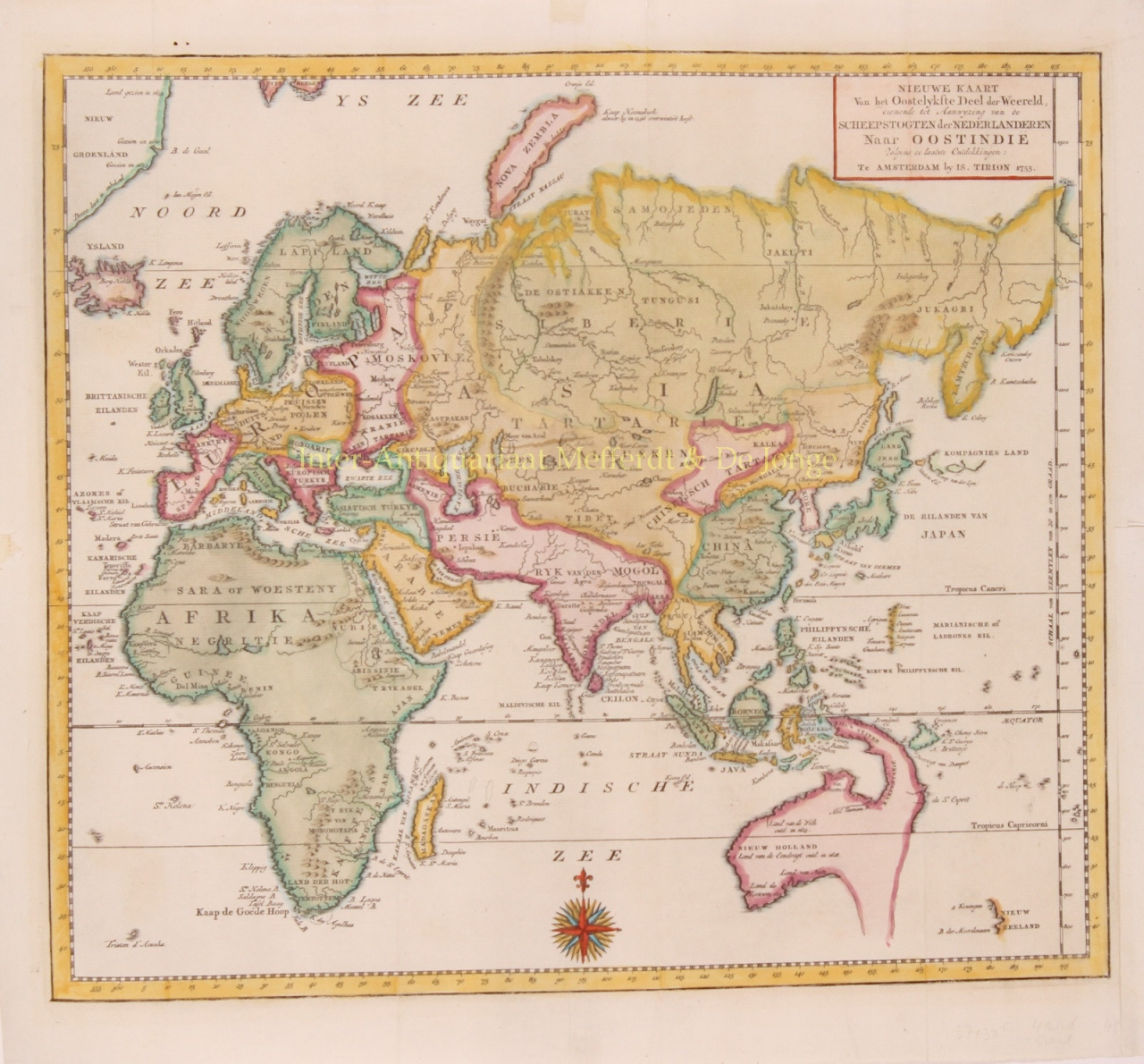
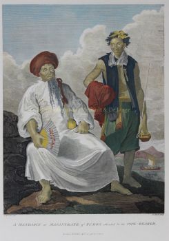
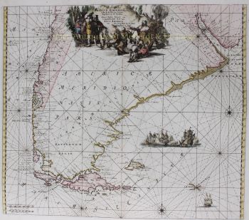
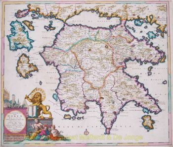
Se hizo especialmente famoso por sus atlas. Entre 1740 y 1784, aproximadamente, aparecieron varias ediciones, desde colecciones compactas hasta extensas obras con más de cien mapas. El Atlas de Zelanda (1760) se considera una obra destacada: una obra ricamente ilustrada con mapas, paisajes urbanos y aldeas, y retratos de zelandeses ilustres. Los mapas manuscritos de la familia Hattinga sirvieron de base para este proyecto, un ejemplo de cómo Tirion logró plasmar el conocimiento existente en grabados de alta calidad sobre papel resistente. Incluso aconsejaba a los compradores que dejaran espacio en las encuadernaciones para futuras adiciones: un editor previsor.
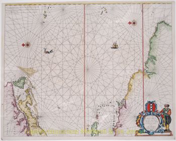
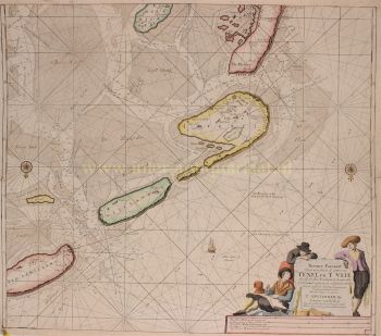
Su trabajo no se limitó a las publicaciones comerciales. Por encargo de los Estados de Holanda y Frisia Occidental, produjo numerosos mapas de gestión hídrica entre 1754 y 1765, a veces de carácter confidencial. En estos, Tirion actuó como un meticuloso editor de material cartográfico técnica y políticamente sensible, una función que reforzó su reputación como editor fiable y hábil. Tras su muerte en 1765, fue enterrado en Ámsterdam. Su viuda, Johanna Koster, continuó el negocio durante varios años más, demostrando que la editorial de Tirion no era solo una empresa, sino un nombre consolidado en el mundo de los libros y los mapas.
Isaak Tirion fue más que un librero: fue un arquitecto del conocimiento. En una época en la que el mundo se hacía cada vez más grande y complejo, él le dio forma: imprimió en tinta, grabó en cobre y distribuyó por toda la República y más allá.