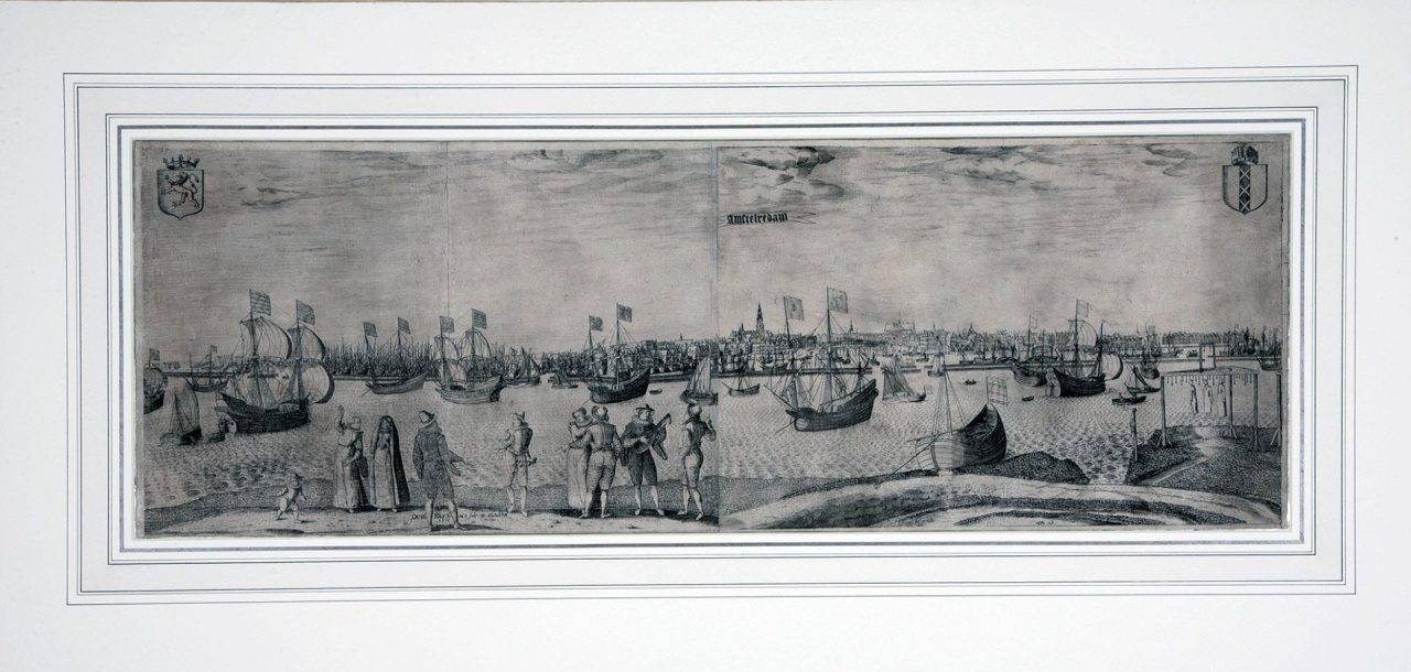
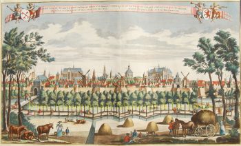
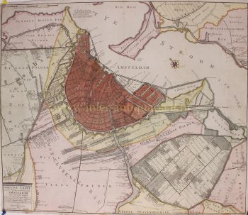
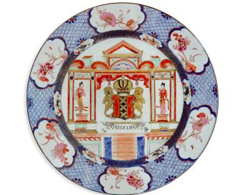
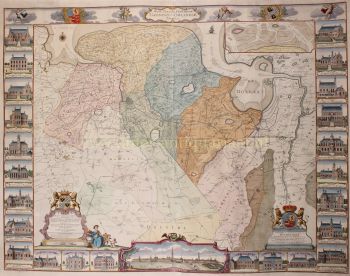
Bast nació en Amberes y era hijo de Josyntje Plantin, que formaba parte de la famosa impresora Plantin. El 31 de agosto de 1601 se casó con Aryaentje Geryt Schaecken en Leiden. Al año siguiente compró una casa al lado de la Escuela de Latín. Carrera Pieter Bast grabó mapas y paisajes urbanos de ciudades holandesas. Trabajó en un mapa de Emden. También trabajó como topógrafo. La más famosa de sus obras fue el mapa de Amsterdam que dibujó y grabó en 1599. Cubría un total de cuatro hojas y se titula Amstelodamum, Hollandiae urbs primaria, emporium Totius Europae celeberrimum. Desde 1544 no había un mapa exacto de la ciudad de Ámsterdam, por lo que este trabajo tiene un significado histórico. El mapa fue publicado el 1 de octubre de 1599 por el librero-editor Harmen Allartz o Alardi. La tarjeta estaba firmada por Petr. Bast Au (es decir, auctor) et sculp (sit) et excudebat, 1599, lo que indica que Pieter Bast también fue editor. Posteriormente, Pieter Bast hizo más grabados de Middelburg, Dordrecht, Leeuwarden, Franeker, Leiden y Utrecht. También hizo grabados de eventos históricos como el asedio y la captura de Nimega como parte de la revuelta holandesa de Maurice, príncipe de Orange, el 14 de octubre de 1591, la batalla de Nieuwpoort. Otros artistas con los que colaboró incluyen Floris Balthasar y Johan Sems. Fue enterrado en la iglesia de San Pedro en Leiden.