Old map of the Holy Land  by Gerard and Cornelis de Jode
Scroll to zoom, click for slideshow

Old map of the Holy Land 1593

Gerard and Cornelis de Jode

PapelImpresión
33 ⨯ 51 cm
€ 3.750

Inter-Antiquariaat Mefferdt & De Jonge

  • Sobre la obra de arte
    16TH CENTURY PICTORAL MAP OF THE HOLY LAND “Descriptio et Situs Terrae Sanctae alio Nomine Palestina, Multis Preclaris Historys et Miraculis utriusque testamenti a Christo Salvatore nobilitata.” [The description and location of the Holy Land also called Palestine, famed for the many illustrious histories and miracles of both Testaments by Christ the Saviour.] Copper engraving published in 1593 by Gerard and Cornelis de Jode in the “Speculum Orbis Terrarum”. Coloured by a later hand. Size: 33,9 x 51,4 cm. The map shows the Holy Land oriented to the east, with its coastline from Tyrus to Gaza. The events of the Bible are depicted in words and illustrations. It locates the Twelve Tribes, the descendants of the biblical patriarch Jacob, who collectively form the Israelite nation. Gerard de Jode states in the tekst box in the lower left: Here you find, good reader, a compendious description of the entire land of promise from the book of Joshua and Ezekiel, indicating the regions, cities, mountains, and monuments worthy of being known, both old and new. The De Jode family (Gerardus, the father, and Cornelis, the son) from Antwerp, had the misfortune of attempting to compete in the atlas market with the formidable and well-connected Abraham Ortelius. The De Jodes were and are respected as mapmakers, as evidenced by this work based on then current sources, but they were no commercial match for Ortelius. They published a mere two editions of their atlas as opposed to approximately 40 by Ortelius. Hence, the considerable rarity of De Jode maps in today’s market. This map of the Holy land appeared in only the second edition of De Jode’s atlas, and is consequently even rarer. Price: Euro 3.750,-
  • Sobre el artista

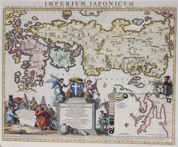
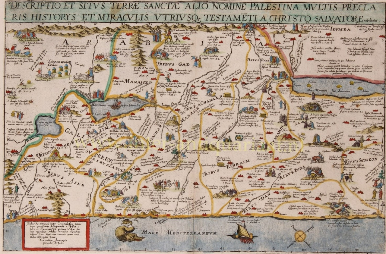
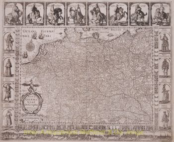
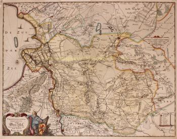
    Cornelis de Jode (Amberes, 1568 - Bergen, 1600) fue un cartógrafo, grabador e impresor del sur de Holanda. Cornelis era hijo de Gerard de Jode.

    Se había preparado para su tarea a través del estudio y se distinguió como 'plaetsnyder' y editor. De Jode pronto tuvo éxito: la segunda edición del atlas mundial Speculum Orbis Terrarum ('Espejo de los países del mundo') de su padre Gerard, ahora rebautizado como Speculum Orbis Terrae ('Espejo del país del mundo'), mejorado y ampliada de 65 a 109 cartas, apareció en 1593 y se vendió mucho mejor que la primera. En 1595, Cornelis se unió al gremio de artesanos de San Lucas de Amberes.

    De Jode también escribió De Quadrante Geométrico Libellus (1594), 'Libro sobre el cuadrante geométrico'. Según su epitafio, Cornelis fue uno de los pocos cartógrafos que había viajado mucho: a Noruega, Dinamarca, Islandia, Italia y España.

    Una muerte prematura acabó con su prometedora carrera. Las planchas de cobre pasaron a manos del editor J.B. Vrients que también compraron platos de Ortelius. Sin embargo, no se conocen ediciones de atlas similares de Vrients, solo una reedición del mapa de Pool en 1618.
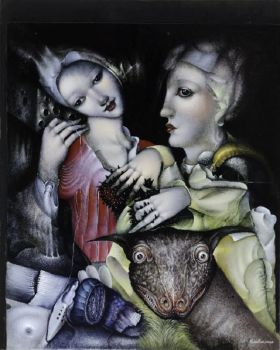
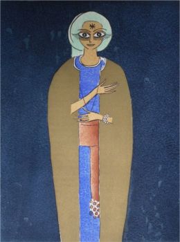
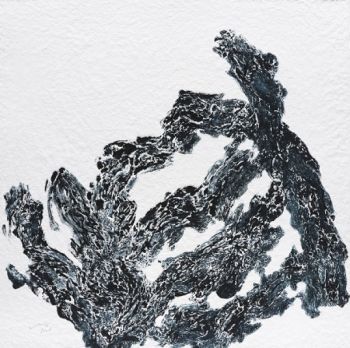
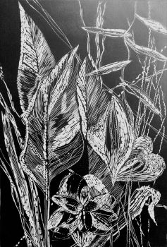
¿Está interesado en comprar esta obra de arte?