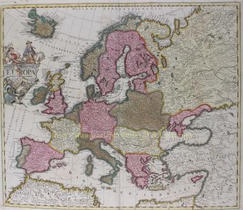
"Willem Janszoon Blaeu y su hijo Joan personificaron la 'edad de oro' de la cartografía holandesa. Trabajando durante el siglo XVII, Willem Blaeu dibujó una serie de mapas innovadores y publicó el primer atlas.
Nació en 1571 en Amsterdam y trabajó inicialmente como empleado en el comercio familiar de arenque. Sin embargo, no estaba contento con su ocupación y se fue de casa en 1594 para estudiar matemáticas con Tycho Brahe, el famoso astrónomo. Blaeu fue un buen estudiante que impresionó mucho a su tutor, y cuando completó sus estudios regresó a Amsterdam y estableció un negocio como cartógrafo. Su negocio floreció y su reputación creció. Fue el primer cartógrafo en producir mapas de una sola hoja de muchos países europeos.
En 1605 hizo un mapa mural del mundo, que abarca 20 hojas, cada una de 8 pies de ancho. Este mapa fue, con mucho, el más preciso de la época y contribuyó de manera destacada al conocimiento de la geografía mundial.
Su mapa siguió siendo el más preciso hasta 1648, cuando su hijo, Joan, quien también se convirtió en un famoso cartógrafo, lo actualizó. Pero su mayor logro fue la producción del primer atlas en 1630. El nombre Blaeu era en realidad un apodo familiar que Willem tomó después de que se produjo una confusión entre él y su gran rival Joannes Jansonius.


![RARE ARMORIAL MAP: LEO BRABANTIAE Lion of the most noble Duchy of Brabant] by Sibertus Waterloos](https://media-3.gallerease.com/images/325cc033-a3b6-495f-9da8-6d06caf29b14/350x350/rare-armorial-map-leo-brabantiae-lion-of-the-most-noble-duchy-of-brabant.jpg)