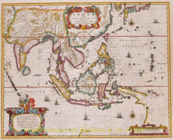
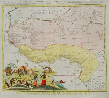
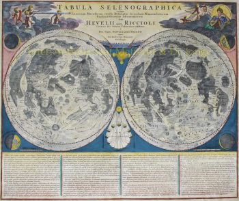
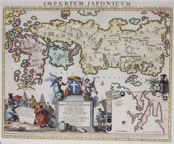
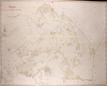
Johann Baptist Homann (1664-1724) fue un destacado cartógrafo, grabador y editor alemán de principios del siglo XVIII, considerado uno de los cartógrafos más influyentes de su época. Nacido en Oberkammlach, Baviera, se educó inicialmente en un colegio jesuita antes de convertirse al protestantismo, una decisión que marcaría su trayectoria personal y profesional.Johann Baptist Homann (1664-1724) fue un destacado cartógrafo, grabador y editor alemán de principios del siglo XVIII, considerado uno de los cartógrafos más influyentes de su época. Nacido en Oberkammlach, Baviera, se educó inicialmente en un colegio jesuita antes de convertirse al protestantismo, una decisión que marcaría su trayectoria personal y profesional.
Homann comenzó su carrera como notario en Núremberg en 1687, pero pronto se dedicó al grabado y la cartografía, impulsado por un creciente interés en la geografía y la representación visual del conocimiento. Tras un periodo formativo en Viena entre 1693 y 1695, regresó a Núremberg, donde fundó su propia editorial en 1702. Esto marcó el inicio de una carrera sumamente productiva e influyente.
Sus mapas pronto obtuvieron reconocimiento por su precisión, claridad y riqueza decorativa, combinando el rigor científico con una elaborada ornamentación barroca. La reputación de Homann lo llevó a ser nombrado Geógrafo Imperial por el emperador Carlos VI en 1715, y posteriormente fue elegido miembro de la Academia Prusiana de Ciencias en Berlín, un reconocimiento a su contribución al avance del conocimiento geográfico.
En 1716, Homann publicó su obra más célebre, el Grosser Atlas über die ganze Welt (Gran Atlas del Mundo), una colección de mapas exhaustiva y ambiciosa que consolidó su legado. Muchas de estas obras fueron creadas en colaboración con el grabador Christoph Weigel el Viejo. A través de su editorial y su producción cartográfica, Homann desempeñó un papel fundamental en el establecimiento de Núremberg como un importante centro de producción cartográfica en Europa.


![RARE ARMORIAL MAP: LEO BRABANTIAE Lion of the most noble Duchy of Brabant] by Sibertus Waterloos](https://media-3.gallerease.com/images/325cc033-a3b6-495f-9da8-6d06caf29b14/350x350/rare-armorial-map-leo-brabantiae-lion-of-the-most-noble-duchy-of-brabant.jpg)


![European hunting party] by Artista Desconocido](https://media-2.gallerease.com/images/cb8cbebf-7709-4817-9bdb-fef8ae1e93cf/350x350/european-hunting-party.jpg)