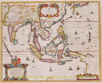
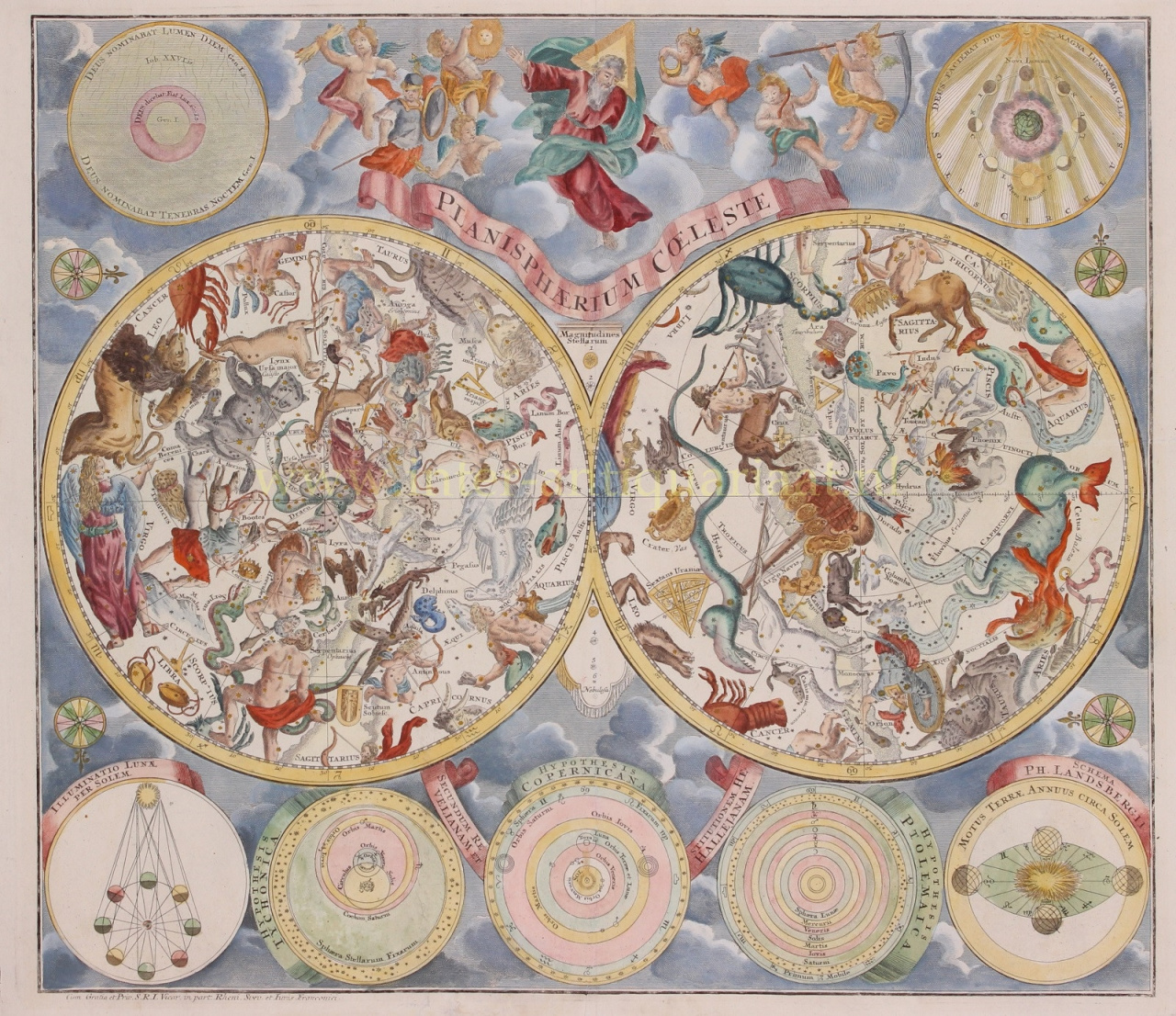
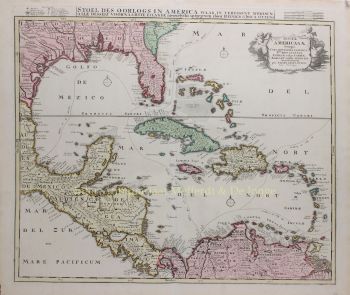
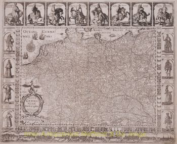
Matthias Shutter nació en 1678 en Alemania. Fue uno de los editores de mapas alemanes más importantes y prolíficos del siglo XVIII. Seutter comenzó su carrera como aprendiz de cervecero. Aparentemente no inspirado por el negocio de la cerveza, Seutter dejó su aprendizaje y se mudó a Nuremberg, donde fue aprendiz de grabador bajo la tutela del prominente J. B. Homann. En algún momento de principios del siglo XVIII, Seutter dejó Homann para establecer su propia empresa editorial cartográfica independiente en Augsburgo. Aunque luchó en los primeros años de su independencia, la habilidad de grabado de Seutter y su compromiso con la producción diversificada de mapas finalmente le valieron una gran cantidad de seguidores. La mayoría de los mapas de Seutter se basaban en gran medida, si no en copias, de trabajos anteriores realizados por las firmas Homann y Delisle. En 1732, Seutter era uno de los editores más prolíficos de su tiempo y fue honrado por el emperador alemán Carlos VI con el título de "Geógrafo Imperial". Seutter continuó publicando hasta su muerte, en el apogeo de su carrera, en 1757. La firma Seutter continuó bajo el hijo derrochador de Seutter, Albrecht Carl, hasta su muerte en 1762. Tras la muerte de Albrecht, la firma se dividió entre la firma Probst establecida y la emergente firma de Tobias Conrad Lotter. Lotter, yerno de Matthäus Seutter, era un maestro grabador y trabajaba para la firma Seutter. Seutter murió en 1757.


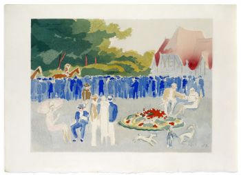


![“Tentation” [temptation], lithograph by Eugène Grasset](https://media-3.gallerease.com/images/b891f1b8-508a-4829-a559-a56b7f765ca7/350x350/tentation-temptation-lithograph.jpg)